Sigue las últimas publicaciones de ModlEarth blog
Seguir leyendo...
Estadísticas en raster y vectores grandes + Imágenes de ChatGPT
Seguir leyendo...
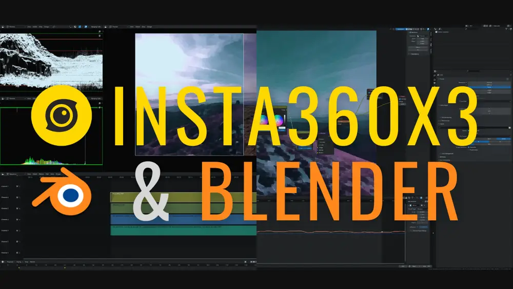
Blender VSE: Edición, Composición y Tracking para Principiantes
Seguir leyendo...
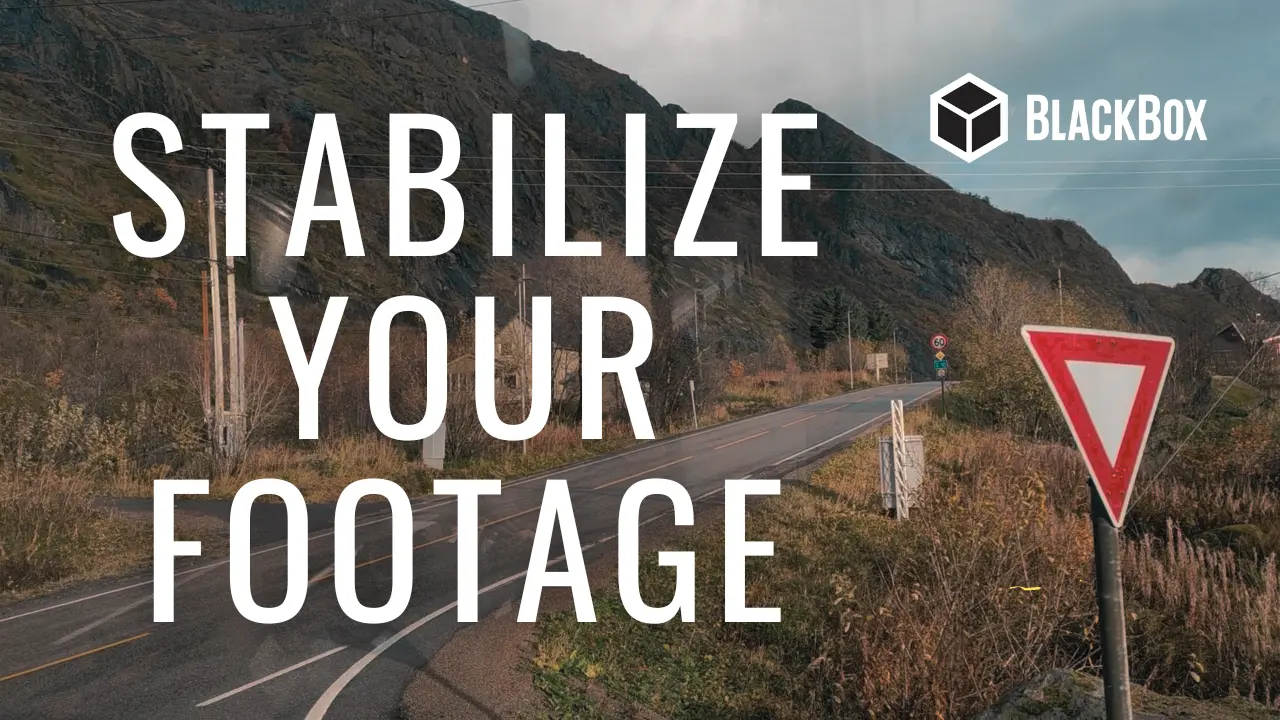
Cómo estabilizar vídeos gratis, rápido y fácilmente para stock
Seguir leyendo...
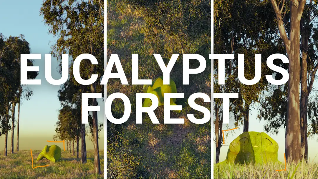
Renderizar una plantación de eucaliptos - Animación y geometry nodes
Seguir leyendo...
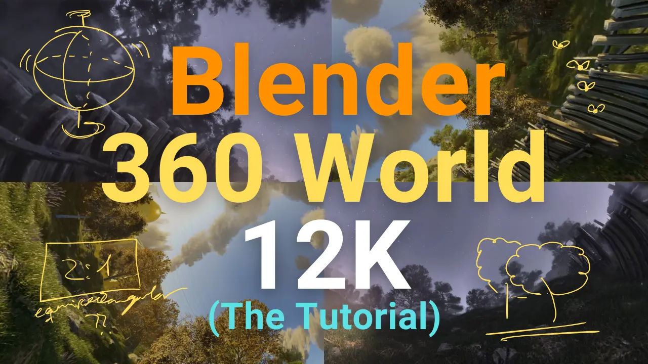
Render 360 landscape in 12 K. Blender tutorial for 360 World
Seguir leyendo...
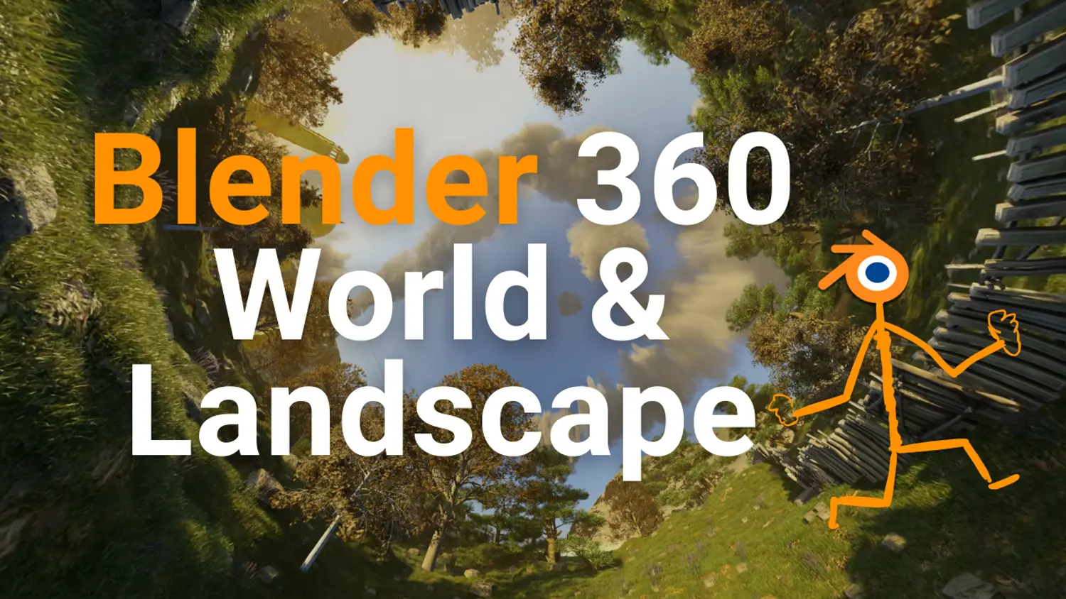
Creating immersive 360-degree worlds and landscapes in Blender
Seguir leyendo...
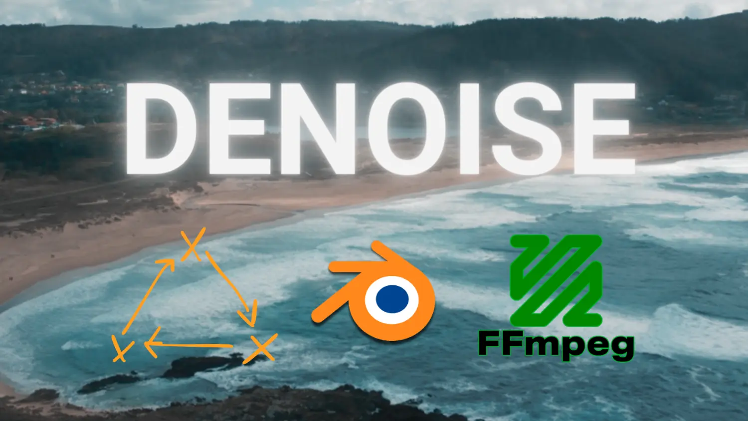
Drones, Denoising and Blender. Stock video with DJI Mini 2
Seguir leyendo...
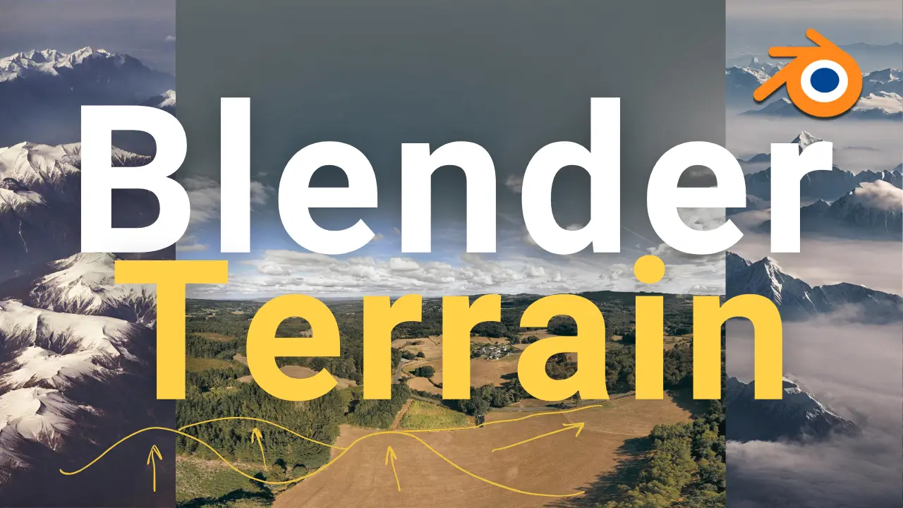
Detalied Terrains with Blender and Google Satellite
Seguir leyendo...
360 Photography and Sun Position: Lessons from Ortigueira
Seguir leyendo...
Visibilidad Eólica en Galicia - Parte II
Seguir leyendo...
Visibilidad Eólica en Galicia - Parte I
Seguir leyendo...
Tablet shortcuts for Blender. Huion HS611 in linux
ModlEarth Blog - R-Shiny, QGIS, Blender & Data Science Tools - page 2
ModlEarth Blog - R-Shiny, QGIS, Blender & Data Science Tools - page 2
Estadísticas en raster y vectores grandes + Imágenes de ChatGPT
En la era actual de la informática y el análisis de datos, enfrentamos constantemente el desafío de manejar conjuntos de datos de gran tamaño, especialmente en el campo de la teledetección y el análisis geoespacial. Uno de los problemas más comunes al trabajar con imágenes de raster de gran tamaño es el cálculo de estadísticas descriptivas, como la desviación estándar, que es fundamental para entender la variabilidad de los datos. Sin embargo, el manejo de rasters de gran tamaño puede ser una tarea desalentadora debido a las limitaciones de memoria inherentes a muchos entornos de programación, incluido R, un lenguaje ampliamente utilizado para la estadística y el análisis de datos. En este artículo, exploraremos una metodología robusta para calcular la desviación estándar de un raster extremadamente grande, superando las barreras de la capacidad de memoria de la computadora. Discutiremos cómo la segmentación de rasters en “chunks” más pequeños, seguido de un enfoque de consolidación, puede facilitar este cálculo, permitiéndonos ejecutar operaciones en paralelo mediante la librería parallel en R. Además, abordaremos las limitaciones críticas relacionadas con la memoria y la longitud de los vectores numéricos en R, proporcionando una visión completa de cómo superar estos obstáculos en el análisis de grandes rasters.
Blender VSE: Edición, Composición y Tracking para Principiantes
Este vídeo parte de una grabación sencilla en el pico Mustallar tomada con la cámara insta360 x3.
Cómo estabilizar vídeos gratis, rápido y fácilmente para stock
En este post se explicará cómo estabilizar cualquier vídeo de forma fácil, automática, en masa y gratis. Solo con las herramientas de ffmpeg.
Renderizar una plantación de eucaliptos - Animación y geometry nodes
Este post sirve como muestra de que en blender puede renderizarse también una masa forestal de eucaliptos con una pequeña animación para hacerlos más realistas. Como ya hemos visto en anteriores posts (post sobre el renderizado 360 y tutorial sobre el renderizado 360), hay una librería maravillosa (Botaniq) donde podemos encontrar muchas de las especies de árboles (europeas) que componen nuestros bosques y plantaciones. Sin embargo, gran parte de las plantaciones forestales en el norte de España, especialmente en Galicia, se componen de Eucaliptos, también conocidos entre la gente del mundillo como arcolitos. El Eucalyptus globulus es sin duda la especie que se lleva la palma cuando hablamos de plantaciones madereras en Galicia.
Render 360 landscape in 12 K. Blender tutorial for 360 World
Promises are meant to be kept. This is the tutorial on how to create 360 videos in Blender, using just free tools and getting the scene up to 12 K resolution. As I told you before, this tutorial is in spanish, because I didn’t have the patience to do it in english (neither the skillset) and I’m pretty sure about that that will be solved by new AI tools soon.
Creating immersive 360-degree worlds and landscapes in Blender
Creating a 360-degree world in Blender with animated vegetation, realistic camera movements, and injecting metadata for YouTube is an exciting project that allows you to immerse your audience in a virtual environment. In this comprehensive blog post, I’ll guide you through each step of the process to achieve this impressive result.
Drones, Denoising and Blender. Stock video with DJI Mini 2
Drones have revolutionized the way we capture visuals, allowing us to explore breathtaking landscapes from a unique perspective. For those in the creative industry, drone footage has become a valuable asset, especially in the world of stock videos. However, to make the most of this resource, it is crucial to transform raw drone footage into captivating content that leaves a lasting impression on the audience. In this blog post, we will delve into the process of editing drone videos for stock platforms like Shutterstock, leveraging Blender and FFmpeg to achieve stunning results.
Detalied Terrains with Blender and Google Satellite
This is just a simple post to show how any terrain in the world can be added with elevation data to Blender. You just need the GIS Blender Addon and a little trick if you want to keep downloading those pieces of terrain at different scales.
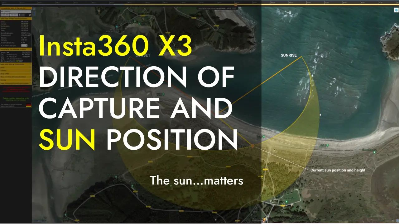
360 Photography and Sun Position: Lessons from Ortigueira
Taking 360-degree photographs with a camera like the one used for capturing the material in this post (Insta360-X3) can be as simple as point-and-shoot. However, that’s a big mistake. The environment in which we take these photos can significantly impact their quality. Do you know where to place the sun using a 360 camera? In this case, we’ll briefly analyze how the direction of the camera’s lenses and the position of the sun influence the results. So let’s break it down.
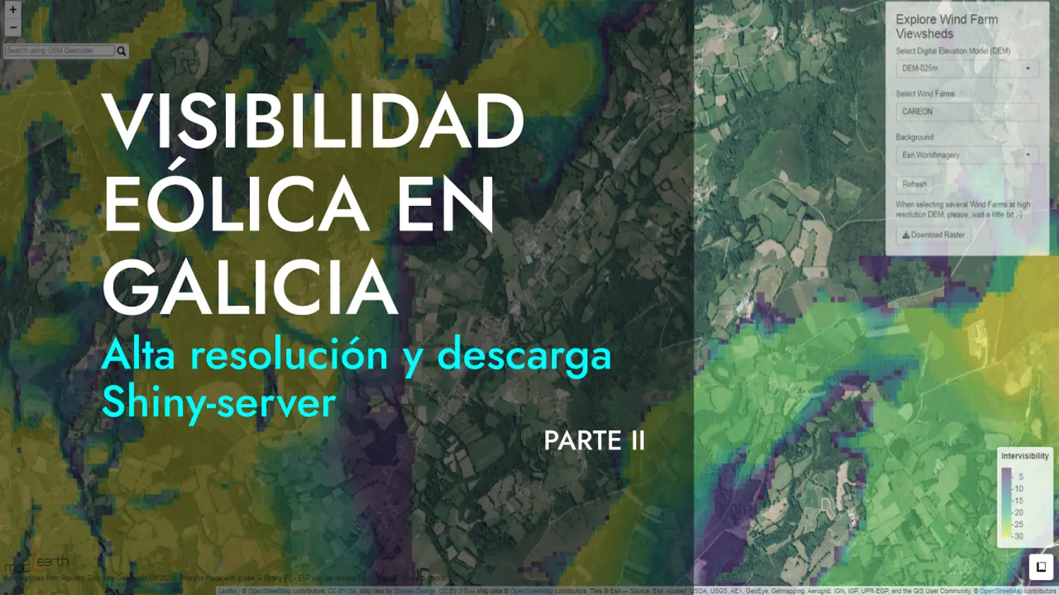
Visibilidad Eólica en Galicia - Parte II
Esta herramienta es la continuación de ese prototipo del que hablamos en el post anterior. El objetivo sigue siendo analizar en detalle la visibilidad eólica sobre el paisaje, es decir, saber qué zonas están expuestas a la visibilidad de los aerogeneradores y cómo las sinergias entre parques eólicos funcionan en Galicia en este caso. En esta segunda parte se ofrecen los resultados de visibilidad sobre los MDT de 200 m, 25 m y 5 m de resolución. Todos a 25 km de distancia respecto a cada aerogenerador, lo cual, contando con más de 5000 turbinas en el análisis, no está nada mal.
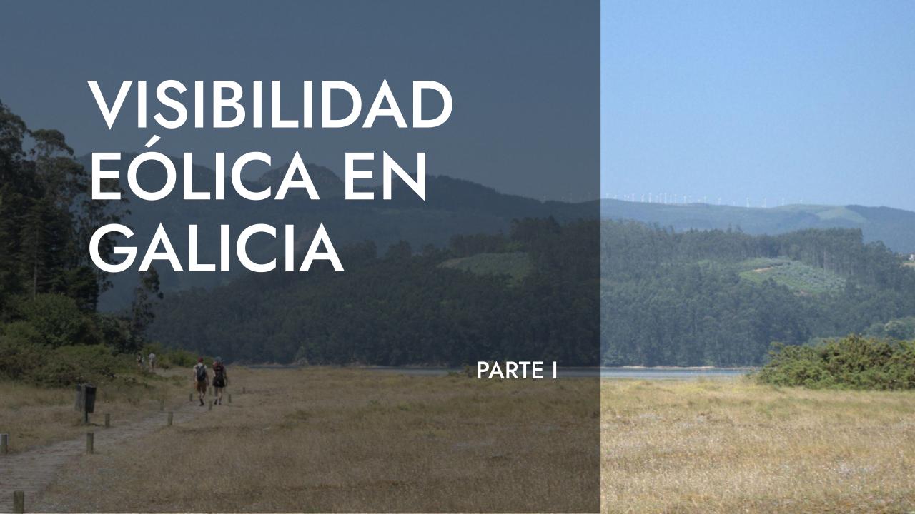
Visibilidad Eólica en Galicia - Parte I
Esta herramienta es prototipo de algo que puediera hacerse. Analizar en detalle la visibilidad eólica sobre el paisaje, es decir, saber qué zonas están expuestas a la visibilidad de los aerogeneradores y como las sinergias entre parques eólicos funcionan. El objetivo último es analizar la visibilidad y sinergias reales de proyectos eólicos sobre el territorio. De momento Galicia. Después, el mundo. Insisto, solo un prototipo. Verde como el campo, que podría llegar a florecer.
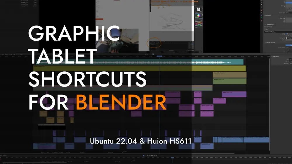
Tablet shortcuts for Blender. Huion HS611 in linux
Introduction and Objective:
Blender 360 City - De BlenderGIS a Video 360
📅 08 Jun 2025 | César Arquero Cabral | Img-Video-3D-Blender
Insta360 X5 - Review y cambios respecto a la X3
📅 15 May 2025 | César Arquero Cabral | Img-Video-3D-Blender
Productos de dron en Linux - OpenDroneMap - Tutorial avanzado
📅 15 Apr 2025 | César Arquero Cabral | Img-Video-3D-Blender
Fotogrametría y Cartografía en Linux - Meshroom y los modelos 3D Mesh
📅 15 Mar 2025 | César Arquero Cabral | Img-Video-3D-Blender
Make + ChatGPT: La automatización de cualquier cosa
📅 15 Feb 2025 | César Arquero Cabral | R-Shiny-Data Science
¿GPX Móvil o Pulsera? Un paseo, dos registros, random forest y R
📅 15 Jan 2025 | César Arquero Cabral | R-Shiny-Data Science
Ubuntu 24.04 works: QGIS, Davinci, OpenDroneMap, Blender y más
📅 07 Dec 2024 | César Arquero Cabral | Img-Video-3D-Blender
DJI Osmo Pocket 2 vs Sony RX100VA vs Insta360X3 vs Xiaomi Note 10
📅 27 Oct 2024 | César Arquero Cabral | Img-Video-3D-Blender
Conversor de archivos de imagen y vídeo gratis en Linux y Windows
📅 26 Sep 2024 | César Arquero Cabral | Img-Video-3D-Blender
Insta360 Studio Works...en linux
📅 22 Apr 2024 | César Arquero Cabral | Img-Video-3D-Blender
Paisaje y Energía en Blender - Los tutoriales completos
📅 18 Apr 2024 | César Arquero Cabral | Img-Video-3D-Blender
VMware y Shiny Server: Mini PC Ubuntu Server para casa
📅 19 Feb 2024 | César Arquero Cabral | R-Shiny-Data Science
Estadísticas en raster y vectores grandes + Imágenes de ChatGPT
📅 12 Feb 2024 | César Arquero Cabral | R-Shiny-Data Science
Blender VSE: Edición, Composición y Tracking para Principiantes
📅 29 Nov 2023 | César Arquero Cabral | Img-Video-3D-Blender
Cómo estabilizar vídeos gratis, rápido y fácilmente para stock
📅 14 Nov 2023 | César Arquero Cabral | Img-Video-3D-Blender
Renderizar una plantación de eucaliptos - Animación y geometry nodes
📅 31 Oct 2023 | César Arquero Cabral | Img-Video-3D-Blender
Render 360 landscape in 12 K. Blender tutorial for 360 World
📅 25 Sep 2023 | César Arquero Cabral | Img-Video-3D-Blender
Creating immersive 360-degree worlds and landscapes in Blender
📅 15 Sep 2023 | César Arquero Cabral | Img-Video-3D-Blender
Drones, Denoising and Blender. Stock video with DJI Mini 2
📅 07 Aug 2023 | César Arquero Cabral | Resources-Tools
Detalied Terrains with Blender and Google Satellite
📅 01 Aug 2023 | César Arquero Cabral | Img-Video-3D-Blender
360 Photography and Sun Position: Lessons from Ortigueira
📅 25 Jul 2023 | César Arquero Cabral | Img-Video-3D-Blender
Visibilidad Eólica en Galicia - Parte II
📅 17 Jul 2023 | César Arquero Cabral | R-Shiny-Data Science
Visibilidad Eólica en Galicia - Parte I
📅 21 Jun 2023 | César Arquero Cabral | R-Shiny-Data Science
Tablet shortcuts for Blender. Huion HS611 in linux
📅 03 May 2023 | César Arquero Cabral | Resources-Tools
Realistic Solar Power Plant and Blender Motion Tracking
📅 27 Apr 2023 | César Arquero Cabral | Img-Video-3D-Blender
Creating Dynamic Wind Turbines with Blender
📅 19 Apr 2023 | César Arquero Cabral | Img-Video-3D-Blender
Terrain Mapping benchmark with OpenDroneMap
📅 01 Apr 2023 | César Arquero Cabral | Img-Video-3D-Blender
Insta360-X2 vs Ricoh Theta X - E04 - Prueba nocturna
📅 15 Feb 2023 | César Arquero Cabral | Img-Video-3D-Blender
Lectura y procesamiento de datos .nc con R
📅 01 Feb 2023 | César Arquero Cabral | R-Shiny-Data Science
Experimento de tiempos de desplazamiento
📅 26 Jan 2023 | César Arquero Cabral | GIS-Mapping
Insta360-X2 vs Ricoh Theta X - E03
📅 18 Jan 2023 | César Arquero Cabral | Img-Video-3D-Blender
Guía de Uso del Potencial Eólico (NEWA)
📅 04 Jan 2023 | César Arquero Cabral | Resources-Tools
Insta360-X2 vs Ricoh Theta X - E02
📅 14 Dec 2022 | César Arquero Cabral | Img-Video-3D-Blender
Insta360-X2 vs Ricoh Theta X - E01
📅 01 Dec 2022 | César Arquero Cabral | Img-Video-3D-Blender
Splitting a Polygon into Quadrants
📅 23 Sep 2022 | César Arquero Cabral | R-Shiny-Data Science
A Living List of Inspirational Sources for Our Work
📅 06 Sep 2022 | César Arquero Cabral | Resources-Tools
Finding the Shortest Path using the Tobler Function
📅 20 Jul 2022 | César Arquero Cabral | R-Shiny-Data Science
Solutions GIS Stack Exchange Problems
📅 07 Jun 2022 | César Arquero Cabral | R-Shiny-Data Science
360 Image Rendering
📅 07 Jun 2022 | César Arquero Cabral | Img-Video-3D-Blender
Least Squares in Raster grid (es)
📅 28 Mar 2022 | César Arquero Cabral | R-Shiny-Data Science
Zonificación Ambiental Energías Renovables, WMS y R parallel
📅 26 Mar 2022 | César Arquero Cabral | R-Shiny-Data Science
Coordinates to GIS with R
📅 24 Jan 2022 | César Arquero Cabral | R-Shiny-Data Science
Largest Visible Area
📅 12 Jan 2022 | César Arquero Cabral | GIS-Mapping
Sony RX100 VA + Zhiyun Crane M2 + Blender - 1ª parte (es)
📅 14 Jul 2021 | César Arquero Cabral | Img-Video-3D-Blender
Análsis de texto automatizado para captura de lugares en libros
📅 09 Jul 2021 | César Arquero Cabral | R-Shiny-Data Science
Polígonos parcelarios en R. Solución GIS Stackexchange
📅 26 Feb 2021 | César Arquero Cabral | R-Shiny-Data Science
Extraer valores raster por polígonos, líneas y puntos
📅 17 Feb 2021 | César Arquero Cabral | R-Shiny-Data Science
Blender: Timelapse of a Timelapse
📅 04 Feb 2021 | César Arquero Cabral | Img-Video-3D-Blender
landtools - (en desarrollo)
📅 03 Feb 2021 | César Arquero Cabral | R-Shiny-Data Science
PBADownloader - Herramienta de descarga masiva de catastro
📅 01 Feb 2021 | César Arquero Cabral | R-Shiny-Data Science
RproWIND - (en desarrollo)
📅 31 Jan 2021 | César Arquero Cabral | R-Shiny-Data Science
CatastroDownloader (es)
📅 28 Jan 2021 | César Arquero Cabral | R-Shiny-Data Science
Seleccionar directorios en R (a mano)
📅 18 Jan 2021 | César Arquero Cabral | R-Shiny-Data Science
IterativeSteinerTree
📅 17 Jan 2021 | César Arquero Cabral | R-Shiny-Data Science