
360 Image Rendering
If you don’t want to rely on external servers you can serve it directly creating a 3D with Marzipano. The process is simple and then you can download your results in a typical folder with index.html structure. Here is an example of a simple panorama guide with 2 connected points.
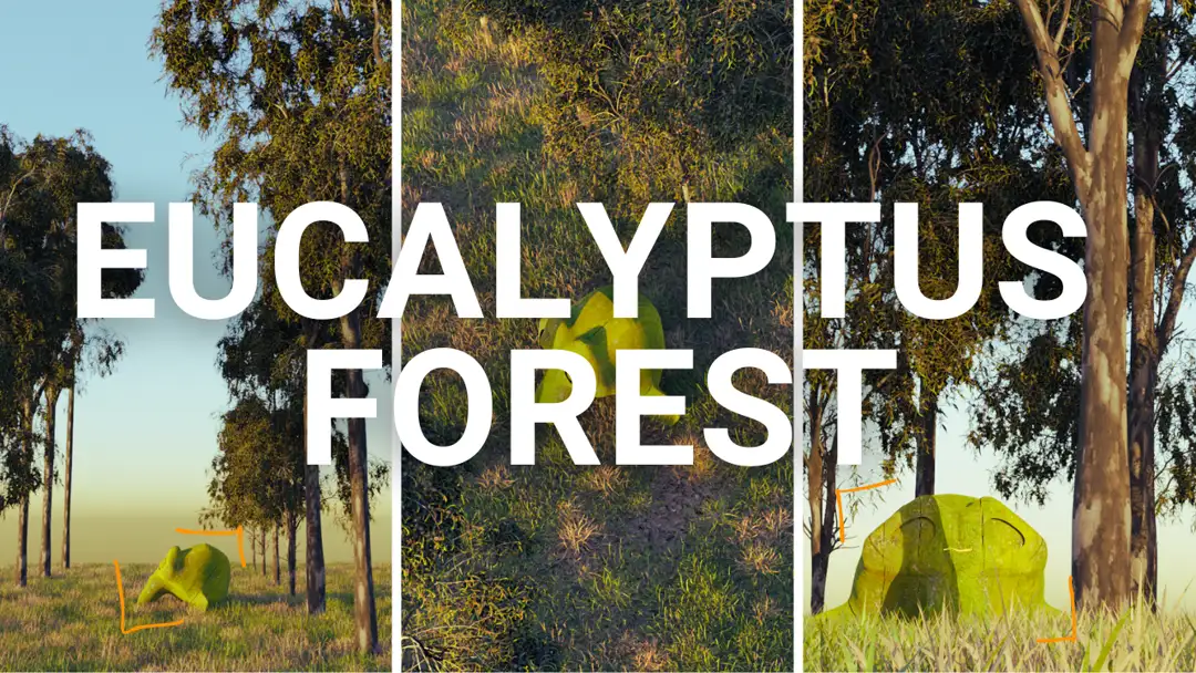
Adding renders to a 360 image
Here is an example using a panorama downloadable from Google Street View. Here is the original view, and Efrén López is the author of the original image. I guess he captured it with a dron and a Ricoh Theta S. The image quality is shocking, and makes my insta360 x2 look much worse even if they have the same sensor size.
In this post, we generated a 3D model to integrate it later into a 360 image. While you can use Blender for this task (using equirectangular projection), it’s important to keep in mind various considerations, such as optical corrections and perspective, to ensure optimal results. With the right techniques and tools, creating 3D models for 360 images can be a smooth and rewarding process.
If you need rendering over 360 photos or simple photos, don’t hesitate to contact us.

