About
Services
Visual Impact Assessment
Landscape Photography and Rendering
Environmental Data Analysis
Drone Mapping, Cartography and Photogrammetry
Consulting & Training
Projects
Landscape and Energy in Blender
Wind Farm Viewsheds
YouTube Channel
Portfolio
MAPBOOK
360 Panoramas
PBA Downloader (Galicia - Spain)
CATASTRO Downloader (Spain)
Blog
Contact
Ricoh-Theta-X: Fotografía 360 y Calidad de Imagen
Total de artículos: 5
Seguir leyendo...
img-video-3d-blender
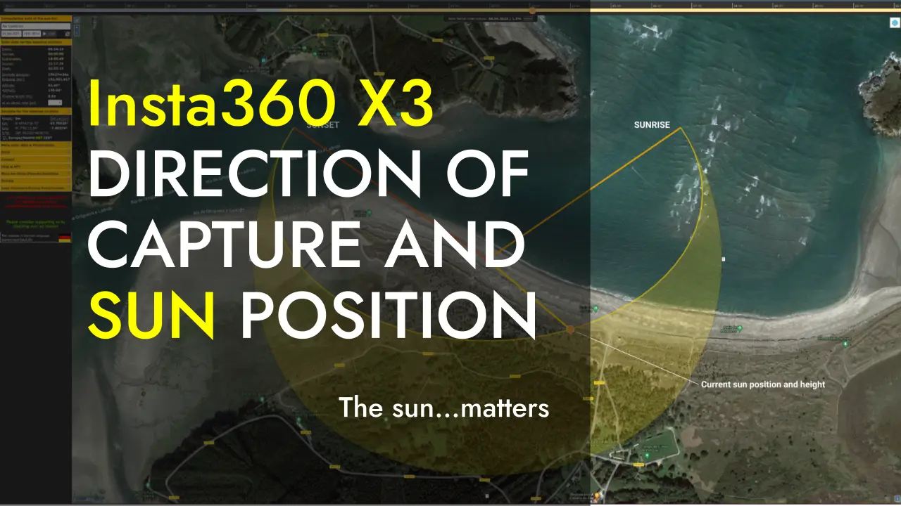
360 Photography and Sun Position: Lessons from Ortigueira
en
25 Jul 2023
César Arquero Cabral
Seguir leyendo...
img-video-3d-blender
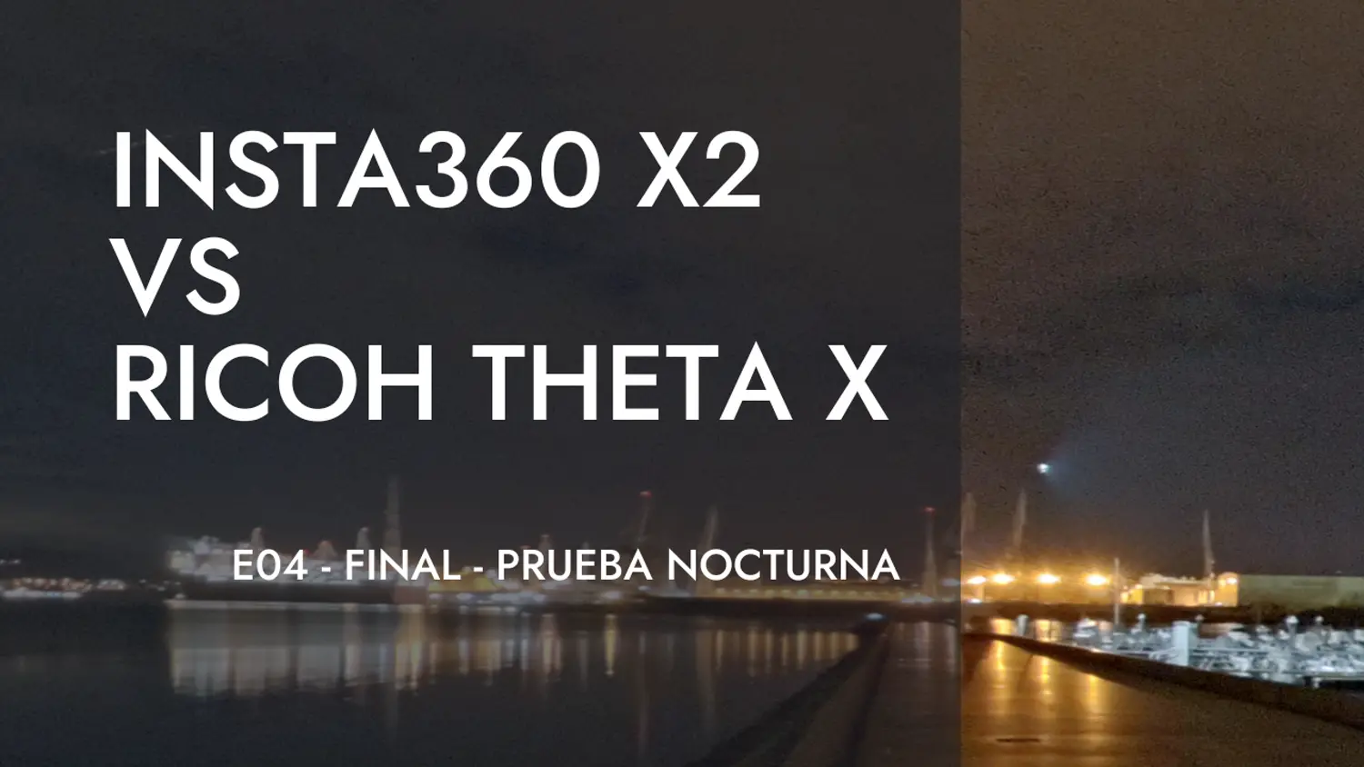
Insta360-X2 vs Ricoh Theta X - E04 - Prueba nocturna
es
15 Feb 2023
César Arquero Cabral
Seguir leyendo...
img-video-3d-blender
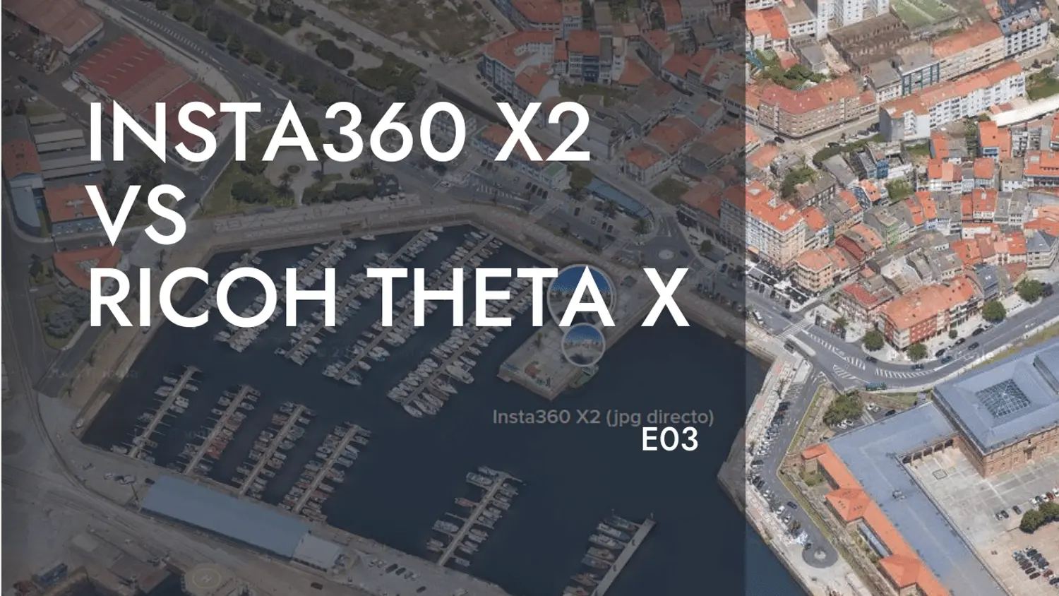
Insta360-X2 vs Ricoh Theta X - E03
es
18 Jan 2023
César Arquero Cabral
Seguir leyendo...
img-video-3d-blender
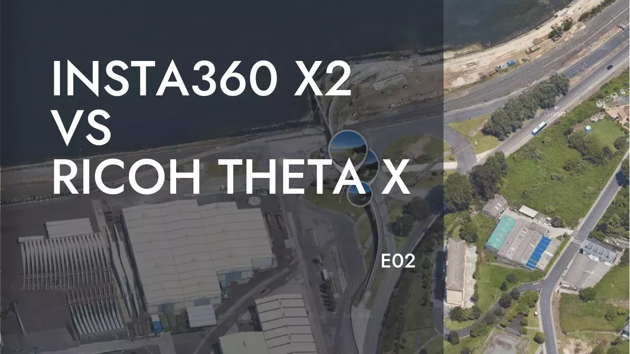
Insta360-X2 vs Ricoh Theta X - E02
es
14 Dec 2022
César Arquero Cabral
Seguir leyendo...
img-video-3d-blender
Insta360-X2 vs Ricoh Theta X - E01
es
01 Dec 2022
César Arquero Cabral