About
Services
Visual Impact Assessment
Landscape Photography and Rendering
Environmental Data Analysis
Drone Mapping, Cartography and Photogrammetry
Consulting & Training
Projects
Landscape and Energy in Blender
Wind Farm Viewsheds
YouTube Channel
Portfolio
MAPBOOK
360 Panoramas
PBA Downloader (Galicia - Spain)
CATASTRO Downloader (Spain)
Blog
Contact
DJI Mini 2: Dron para Fotografía, Videografía y Análisis Paisajístico
Total de artículos: 2
Seguir leyendo...
resources-tools
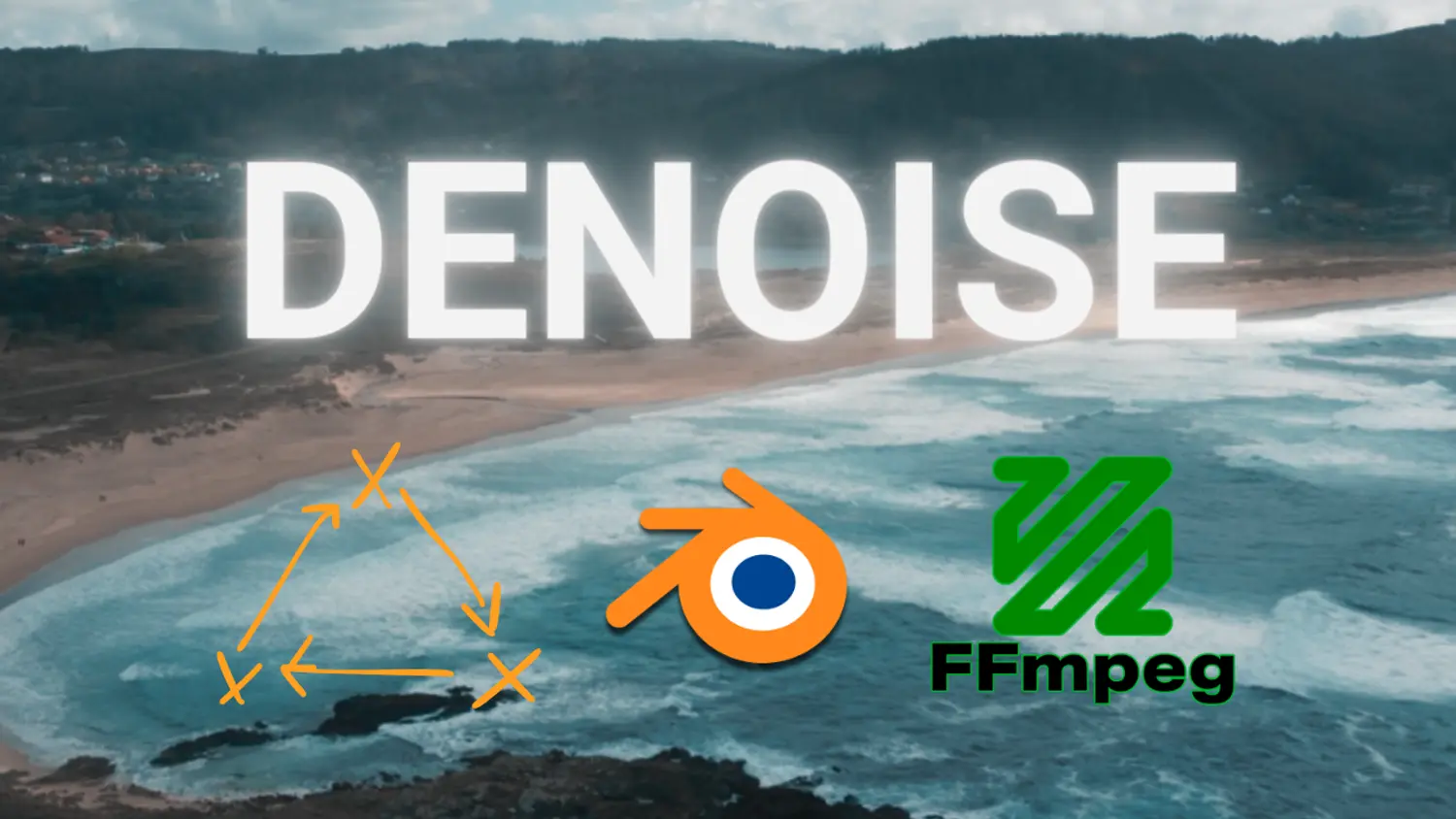
Drones, Denoising and Blender. Stock video with DJI Mini 2
en
07 Aug 2023
César Arquero Cabral
Seguir leyendo...
img-video-3d-blender
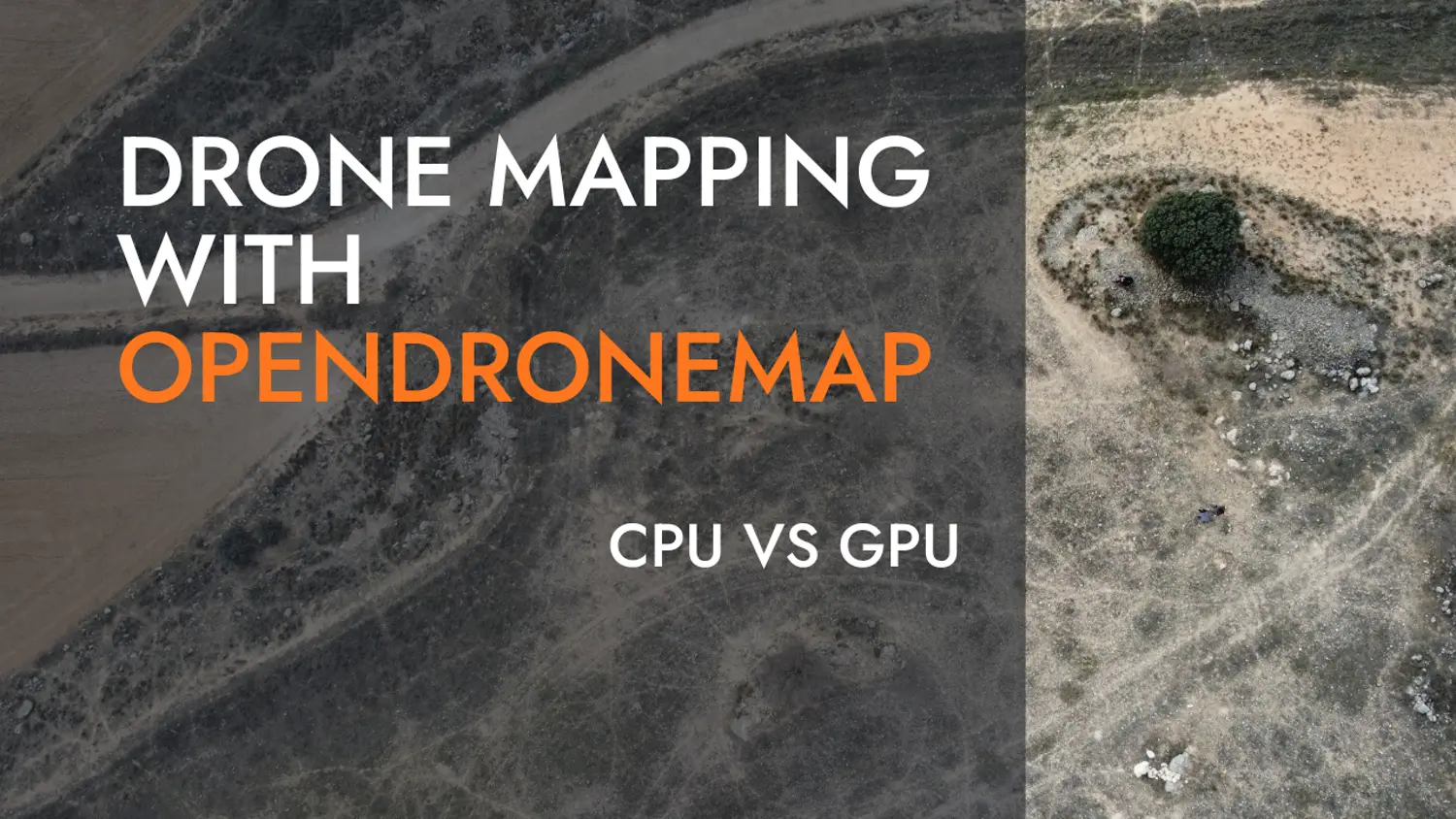
Terrain Mapping benchmark with OpenDroneMap
en
01 Apr 2023
César Arquero Cabral