Tras varios meses en el dique seco respecto a la edición de fotos y vídeos 360 directamente en Linux, ha...

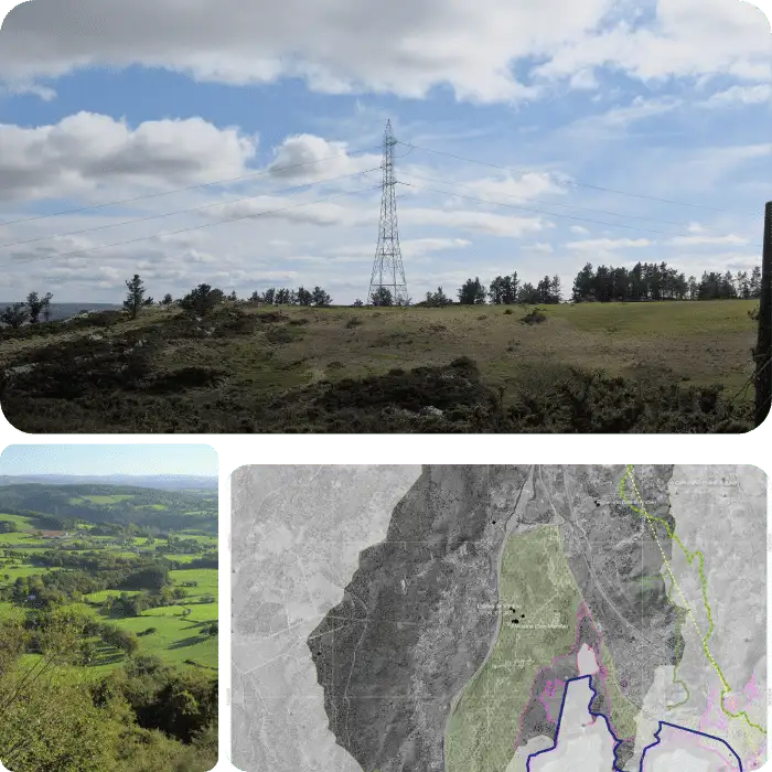
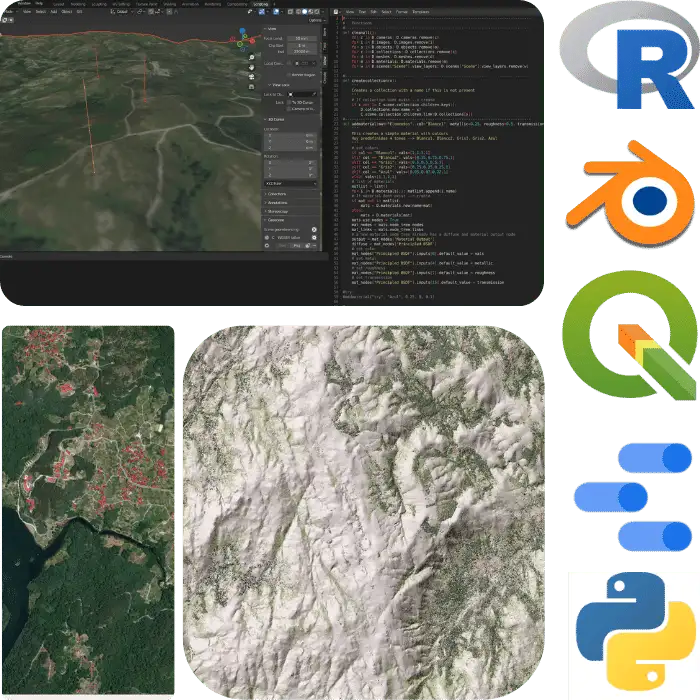
Estudios de paisaje, cartografía (R y QGIS), diseño ambiental 3D (Blender) y análisis de datos geográficos en R
Estudios de paisaje, cartografía (R y QGIS), diseño ambiental 3D (Blender) y análisis de datos geográficos en R
Our team offers a wide range of comprehensive services aimed at assisting our clients in environmental projects. These services include Environmental Impact Assessments, Landscape Integration Studies, GIS and Cartography Processes, as well as Capture, Digitization, Templates, and Processing Tools. Furthermore, we specialize in Environmental Data Analysis and Consulting to provide customized solutions that meet our clients' specific needs.
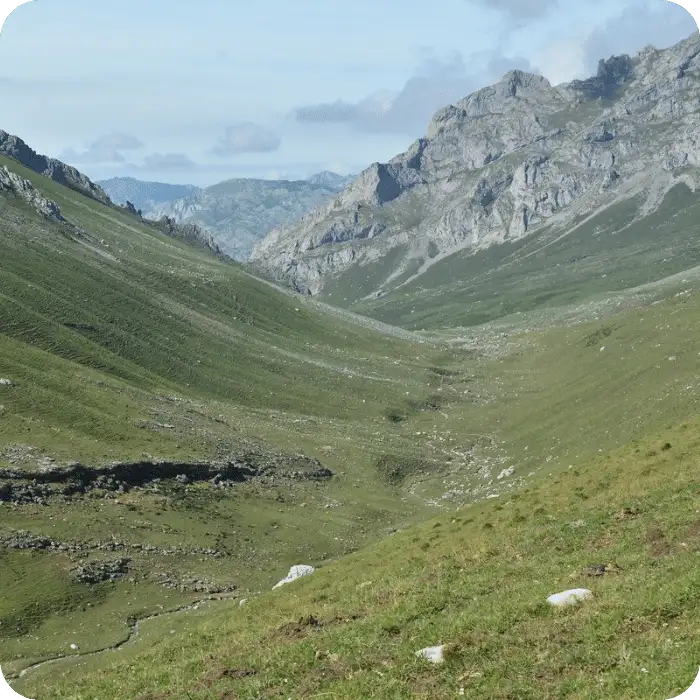
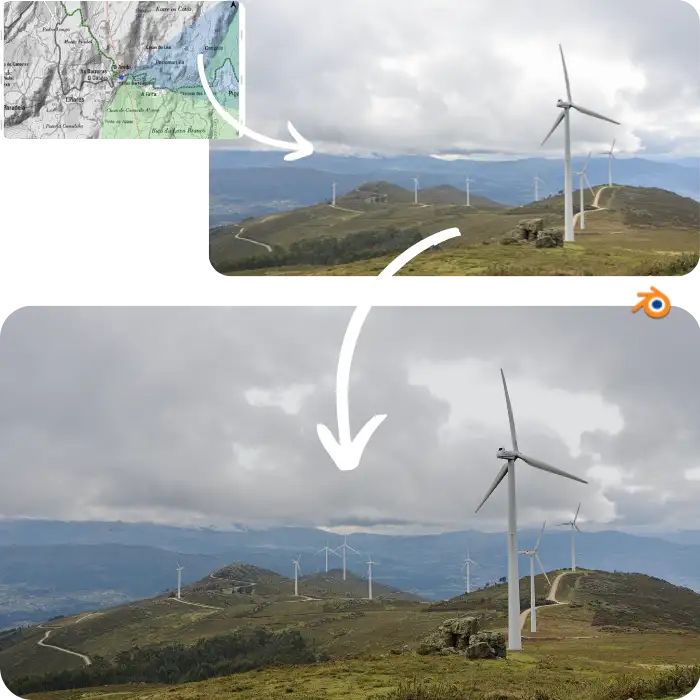
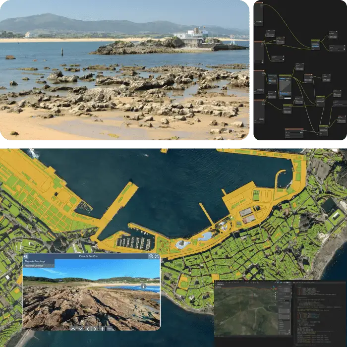
Our photography, modeling, and rendering services cover a wide range of techniques, including landscape photography, 3D modeling, rendering, and virtual reality of projects. We offer photographic tours, 360-degree photography and video, as well as 360-degree rendering. Our team is also skilled in document layout, editing, and printing to ensure that your project is presented in the most professional and visually stunning way possible.
Our comprehensive range of environmental analysis tools is designed to meet the needs of a variety of projects. Our services include Shiny-Apps, Google Data Studio, Power BI, PyQGIS, R and Python scripts, R-Studio and R-Studio Server, custom R developments (functions and libraries), as well as productivity tools. We help our clients systematize and visualize environmental data, enabling them to make informed decisions that lead to successful project outcomes.
Tell us your objective and we'll provide the best solution. From complete products to small tools, we can help with environmental data capture techniques, intensive GIS processes, R & Python scripts, or consolidating and cleaning large datasets.
At our company, we focus on organization, precision, and reproducibility in environmental data analysis. We don't just capture, store, and display data for our clients, we aim to streamline the entire process to save time and money. Our goal is to ensure that time is used effectively, and our clients' valuable time is not wasted.
We strive to present data in a way that is both accurate and visually appealing. Our services include creating tables, figures, photos, and sources to help our clients effectively communicate their work. We understand the importance of a personal touch in all of our solutions.
We believe that engineering and environmental projects can and should be both precise and visually appealing. Our toolkit offers the following benefits for your organization: