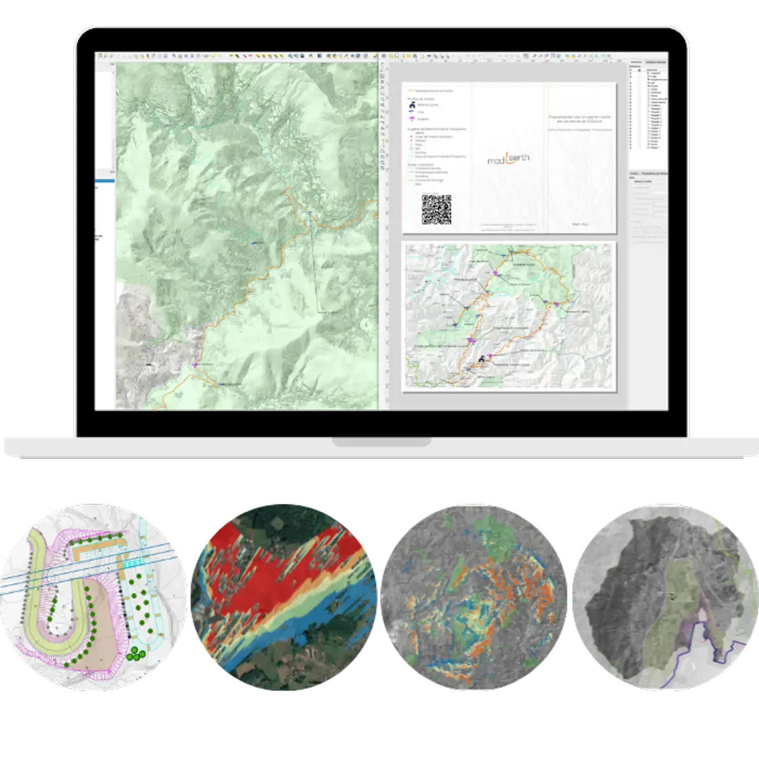
Estudios de paisaje, cartografía (R y QGIS), diseño ambiental 3D (Blender) y análisis de datos geográficos en R
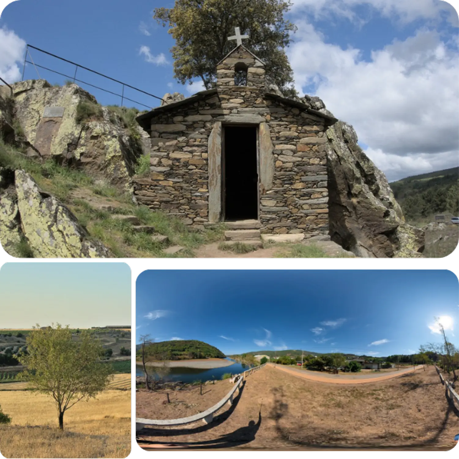
Estudios de paisaje, cartografía (R y QGIS), diseño ambiental 3D (Blender) y análisis de datos geográficos en R
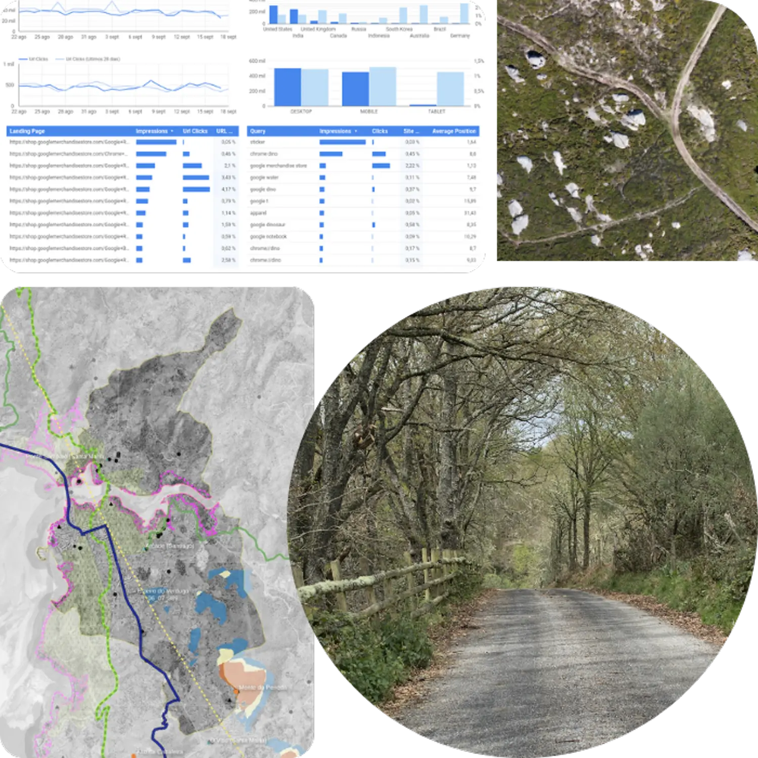
Estudios de paisaje, cartografía (R y QGIS), diseño ambiental 3D (Blender) y análisis de datos geográficos en R