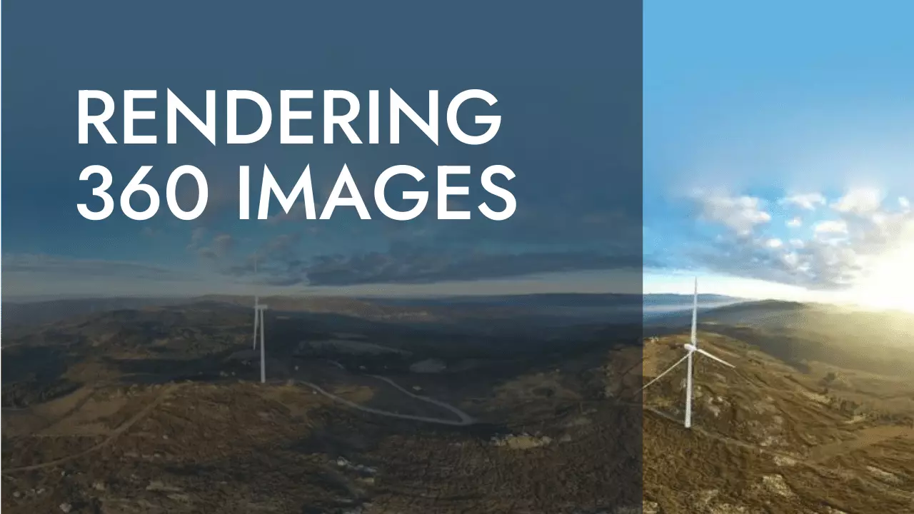
Unleash the potential of landscape data analysis with our all-inclusive services. Our team provides specialized knowledge in landscape photography, cartography, and 3D modeling for environmental projects, along with expertise in Environmental Impact and Landscape Integration Studies and Visibility Studies for Renewable Energies. We excel in creating innovative environmental tools, rendering, and 360 photography, and offer exceptional training in R. Elevate your environmental project to the next level with our assistance - contact us now to find out more

Contact Info
Ferrol, Santiago de Compostela, Galicia, Spain, The World

+00(34) not yet...

Privacy

Follow ModlEarth

Solutions GIS Stack Exchange Problems

Continue reading...

Solutions GIS Stack Exchange Problems

Solutions to GIS Stack Exchange Problems

360 Image Rendering

Continue reading...

360 Image Rendering

If you don’t want to rely on external servers you can serve it directly creating a 3D with...