Herramientas Open Source: Linux, QGIS, Blender y Más
Total de artículos: 16
Fuentes de información sobre análisis de paisaje, gestión ambiental, proyectos GIS, software 3D, Blender, QGIS, R y más
Seguir leyendo...
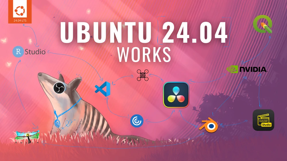
Ubuntu 24.04 works: QGIS, Davinci, OpenDroneMap, Blender y más
Seguir leyendo...
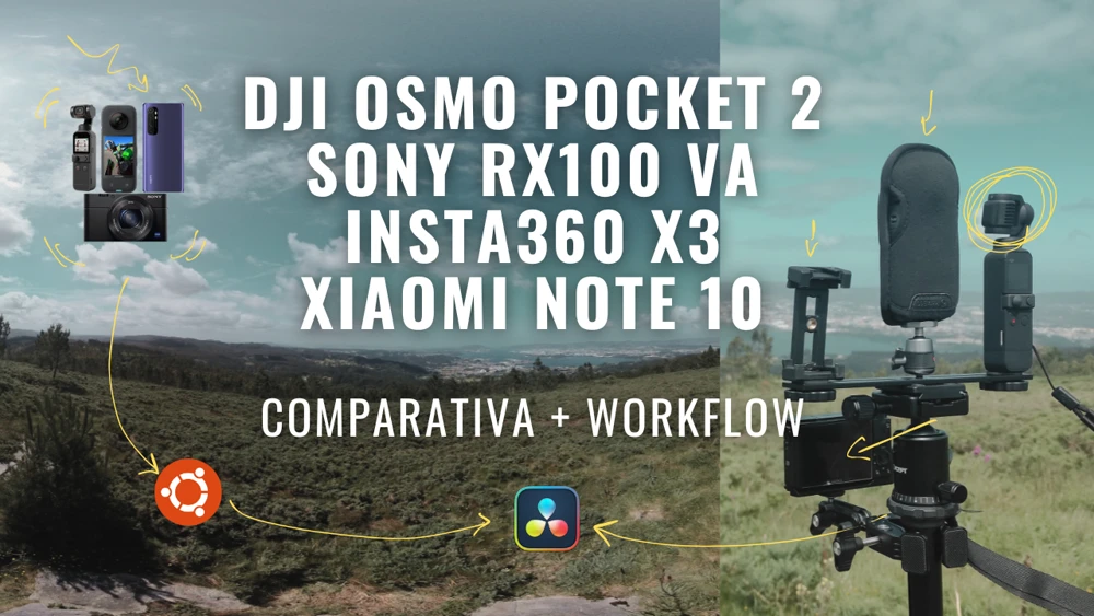
DJI Osmo Pocket 2 vs Sony RX100VA vs Insta360X3 vs Xiaomi Note 10
Seguir leyendo...
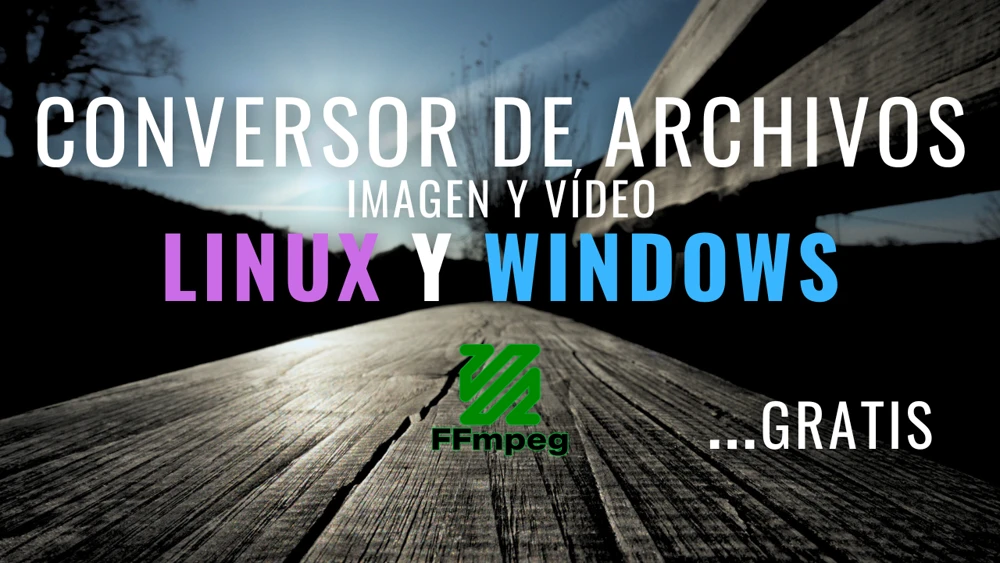
Conversor de archivos de imagen y vídeo gratis en Linux y Windows
Seguir leyendo...
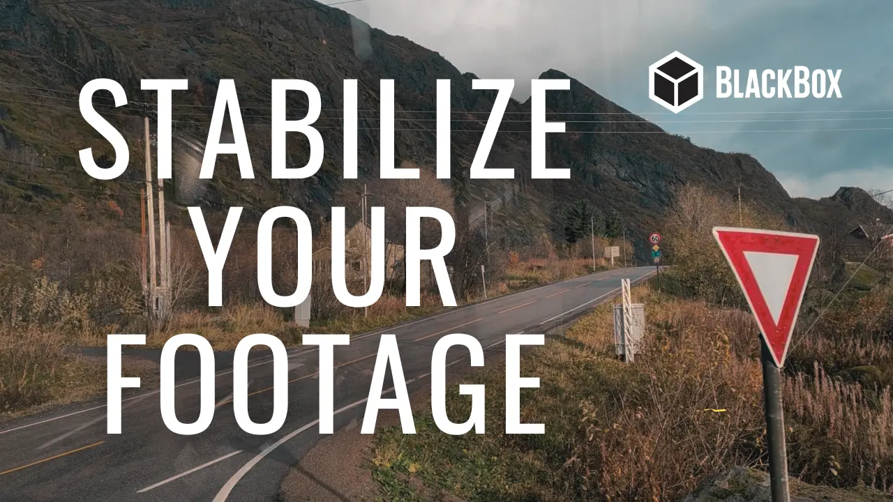
Cómo estabilizar vídeos gratis, rápido y fácilmente para stock