This is the QUESTION IN GIS STACK EXCHANGE that it is not totally solved in our favorite forum....

Estudios de paisaje, cartografía (R y QGIS), diseño ambiental 3D (Blender) y análisis de datos geográficos en R
Estudios de paisaje, cartografía (R y QGIS), diseño ambiental 3D (Blender) y análisis de datos geográficos en R
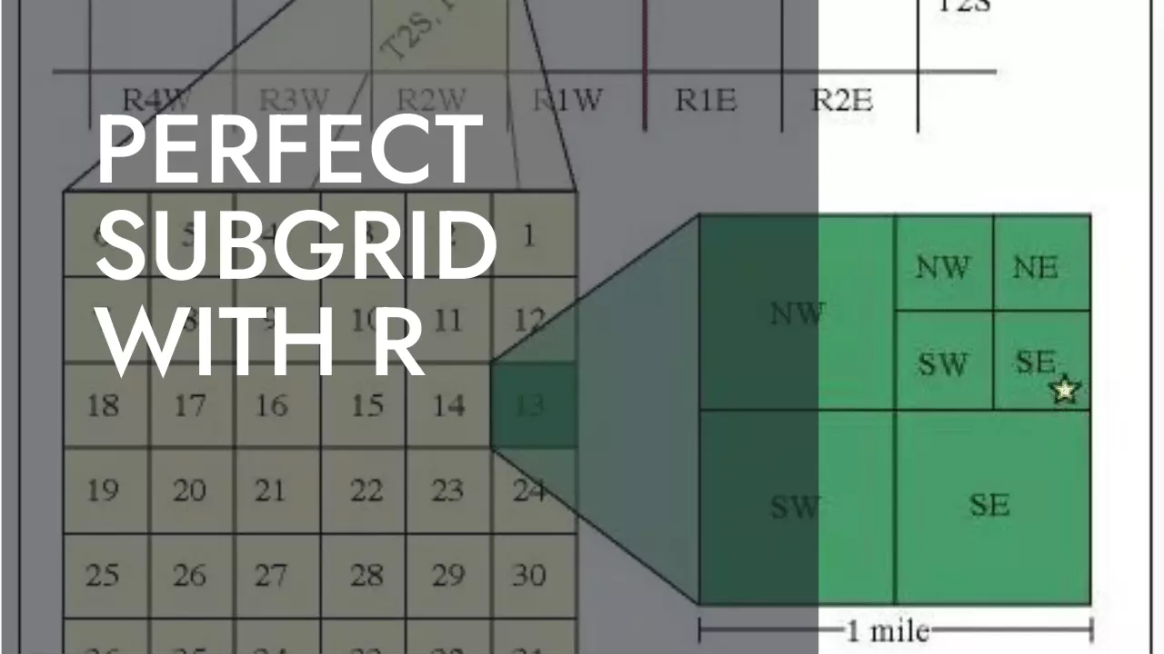
This is the QUESTION IN GIS STACK EXCHANGE that it is not totally solved in our favorite forum....