En muchos casos, una capa de puntos viene dada en forma de excel o archivo .csv donde 2...

Estudios de paisaje, cartografía (R y QGIS), diseño ambiental 3D (Blender) y análisis de datos geográficos en R
Estudios de paisaje, cartografía (R y QGIS), diseño ambiental 3D (Blender) y análisis de datos geográficos en R
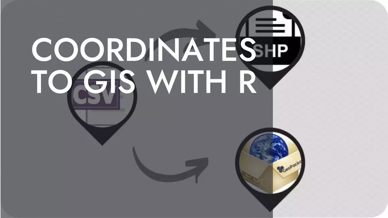
En muchos casos, una capa de puntos viene dada en forma de excel o archivo .csv donde 2...
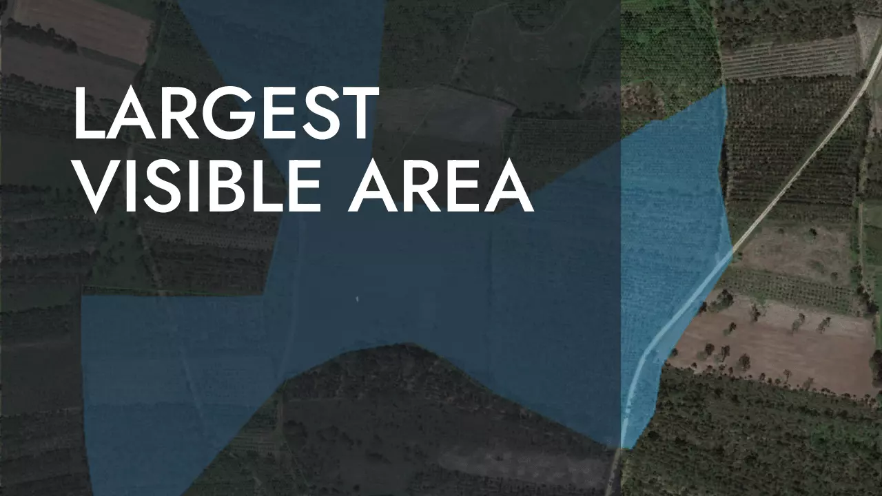
El siguiente poceso sirve para identificar la posición en la que el área visible a su alrededor es...